This is a post that I had originally published on Medium in 2016. It has since fallen behind a paywall and so I am republishing it here.
On May 2nd, 2016 I had the pleasure of speaking to York University Libraries as part of their Library Futures Series. This is what I said.
The title of my talk today is The City as Classroom vs. The City as Advertising Platform. Despite what the title suggests, I will be talking about libraries and a possible future that libraries could pursue in the present.
More precisely, my talk is about in situ discovery — or, in other words, it’s about discovering information that is enabled by being in a particular place. For most of our history, librarianship has been concerned with enabling information access, discovery and use inside of the library building. Today I would like us to consider how we might support information discovery outside of our buildings and out of our sight.
I’ve divided this talk into three parts:
- The City as Playground
- The City as Billboard
- The City as Library
The ideas that I’m discussing today largely come from the work that I started during my sabbatical in 2014. The City As Classroom is the title of Marshall McLuhan’s last co-authored book. When I submitted the title of this talk a couple of weeks ago, I did so when I still thought I was going to lend some of McLuhan’s ideas to this topic but as I started writing I uncovered a particular connection that I thought might prove useful to explore with you today.
But in order to make this potential connection, I need to explain something a little esoteric before we can really get started.
And that is why I am starting this talk with an exploration of Alternative Reality Games.
In 2004, several people known to love games received an usual and unsolicited parcel in the mail. The package was a jar of honey that contained a number of scrabble tiles. The people who received the tiles knew that the letters were some of sort of clue but they didn’t know what the clues were for or who had sent them. Eventually someone took the letters, arranged them into words, and then tried to see they corresponded to an address on the Internet. And that’s how they found the ilovebees.co website.
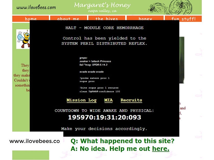
The front page to that site still roughly resembles how it looked in 2004: a personal website dedicated to bees that appears to have been hacked. But by who? And why? The original players who discovered the site wrote about their discovery in a variety of online forums and chat rooms where more and more people gathered and collectively tried to figure what out the hacked code was referring to. Eventually they figured out that the site contained clues to puzzles that when solved, revealed more clues and puzzles which went on to unlock a series of audio files that told the strange story of an otherworldly computer A.I. that had lost some of its memory.

The game that I just described — ilovebees — has many of the standard characteristics that make up what are generally known an Alternative Reality Game or ARG. The tiles in the jar of honey was, in the parlance of the ARG, the rabbit hole. As you now know, ARGs are games that, unlike a video game or a board game, they consist of the elements that are dispersed in the real world. Frequently the clues in ARGs lead to mysterious websites — but sometimes the games also feature special phone numbers or clues and answers that can only be found in specific places in the real world. Another odd characteristic of the ARG is that it never refers to itself as a game. Those who orchestrate the game — generally called puppet masters — will swear to you that what you’ve stumbled upon is not is not a game. It’s just a slice of reality that you just never knew existed before.

You may not have realized this but not only have been library-sponsored ARGs, there’s been two in Toronto over the last few years. Last year the University of Toronto hosted an ARG in honor of Open Access week called Open Robarts. In 2013, Jim Monroe designed an ARG called KTR 451 for the Toronto Public Library around their one-book choice Fahrenheit 451. As you can see, the poster pictured was the invitation to join the game.

While there are ARGs that are currently being played right now (as I’m from Windsor, I’m particularly drawn to the underway called The Bristol Hum) there aren’t many to choose from. ARGs aren’t widely played and even in their heyday, they were never widely played. Furthermore, the ARG — as it’s currently defined — is unlikely ever going to ever gain widespread appeal. Partly this is because of their particular flavour — collective puzzle solving while playing pretend is definitely not for everyone. Another significant reason why ARGs aren’t going to be the next big thing is that they can take a tremendous of work to create. And then, for all your efforts, once your game is created, you can’t widely advertise that it’s available for playing because doing so would break the key conceit that this is not a game. So the best you can do you send clues to known players of ARGs who you hope will be interested enough to figure out why someone has sent them letter tiles in a jar of honey and that they will figure what do with the clue and tell their friends and others to play along. But then, even if your game is able to drawn an audience, as soon as they solve all your puzzles, the game is over for everyone. Case in point, none of us can play ilovebees anymore.

At least that’s what everyone thought. But in 2008 an Alternative Reality Game came along that solved this problem. It was an ARG with re-playability. You could play the game and then you were done, you could bring friends along, and enjoy the experience again together. It was called The JeJune Institute and over its 2 and a half year run, it enrolled over 10,000 players into its game. True to form, the game was not formally advertised. Many of its first players found out of the game by following up on mysterious posters they found stapled on telephone poles. (For those you can’t see the small print, the first poster is about a camera that can see through time and the second is an advertisement for speaking to dolphins).
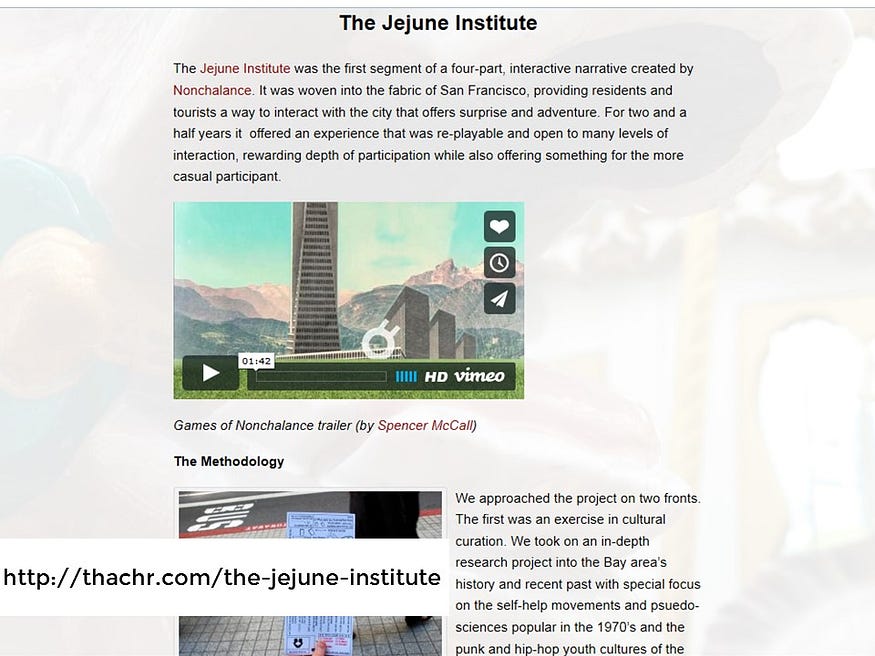
The reason why the Jejune Institute was able to be re-played was that the game itself was woven tightly into the fabric of its place, the city of San Francisco. Sara Thatcher, the game’s Lead Producer and Experience Designer has written that that before they designed the game, they spent time researching the city’s history — especially San Francisco’s self-help movements and psuedo-science gatherings that were popular in the 1970’s as well as the punk and hip-hop youth cultures of the 1980’s. Sarah writes, that by “incorporating select imagery, icons and little-known oddities from this research, we crafted a narrative with strong leading characters and a rich backstory that wove itself into the fabric of the city.”

The game itself was free and the costs were borne by the experience design company responsible, called Nonchalance. The idea was that the game would be a calling card for the group’s next project. Unfortunately it appears that their ambitious attempt at building a secret underground society funded through memberships has failed. And this is the other reason why large-scale ARGs will likely not become a widespread phenomenon. Alternative reality games are generally free to the players and so the costs must be borne by someone else.

While many ARGs are small and are generously run by independent designers, many of the biggest and most successful alternative reality games have been sponsored by corporations such as Ford, Google, Dreamworks, and in the case of ilovebees, by Microsoft. In the end the game ilovebees was a promotional vehicle for the video game Halo 2.
So why did corporations get involved in sponsoring ARGs? When you think about it, the pairing makes a lot of sense. Who are the people who want to present information to you, to suggest choices you hadn’t considered before for decisions you had never even worried about until they put it your head? Who are the people who are paid to find ways to get into your consciousness — whether you are in your home, commuting to work, or just going about your day.
They are the advertisers and they live among us. And that brings us to the second section of today’s talk.
For this second section of my talk, I’d like you to consider a particular design challenge. Suppose York University Libraries had a significant collection of materials — both print and digital — relating to the York Mechanics Institute and you wanted to bring attention to this collection to those who are in the place where it once existed, at 77 Church near the intersection of Adelaide. How could you go about doing this?

Lucky for us, there’s a historical plaque in its former place.
So, we could hope that a curious observer could and would use the information on the historical plaque to search online for more information.

When I search Google for the York Mechanics Institute, results from the Toronto Public Library’s catalogue appear because their ILS system allows their collection’s records to be indexed. This, I think, it excellent and as it should be. But sadly, not every ILS systems allows for records to be indexed by search engines. While I’ve found records from York University’s ILS system come up in searches as well as from WorldCat and even my public library’s Bibliocommons catalogue, but from my understanding, the records from Alma/Primo — our hosted ILS system are not available to be discovered via Google.
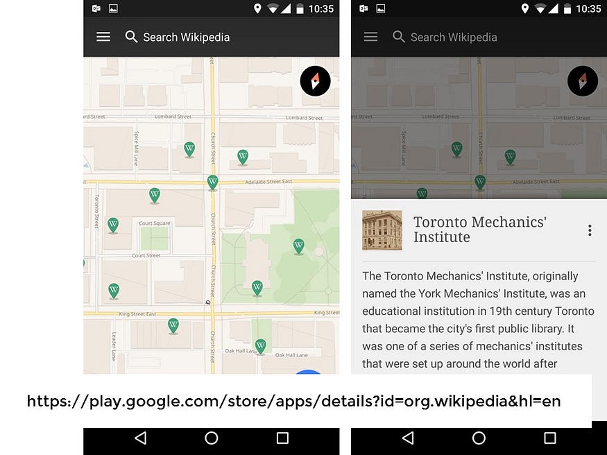
But getting back to our scenario of our curious observer. Another likely possibility is our curious student would bring up Wikipedia on their smart phone and search for the words ‘York Mechanics Institute’. Or — if they were especially savvy — they would make use of the Nearby option on their mobile Wikipedia app and discover the entry that way. And what’s particularly magical about this option is that it brings to light Wikipedia entries that are based around you that you might have otherwise never known.
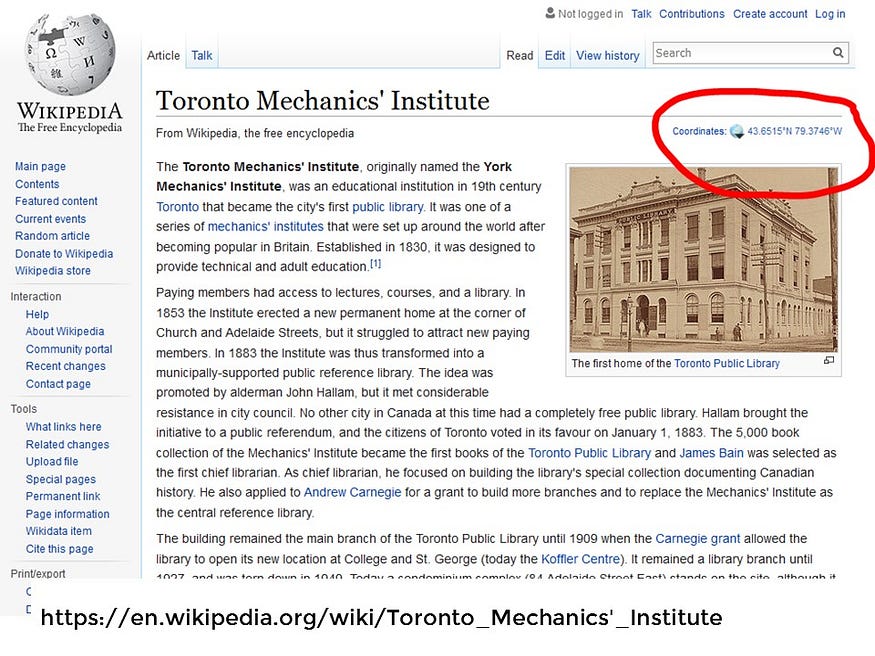
The reason why the Nearby option works is because a small army of editors of Wikipedia have been diligently adding longitude and latitude coordinates to many of their entries. In other words, the many entries in Wikipedia have been geocoded and from that work, many entries can be discovered in place. Geocoding is the process of transforming an address that makes sense to people — such as 77 Church Street, Toronto, Ontario, Canada — to something that a computer can make sense and use of. Case in point, 77 Church Street no longer exist so modern geocoders that exist in maps such as Google Maps locate that address somewhere south of Highway 401.

Another possibility for our curious observer — which is admittedly not particularly likely — is that they refer to one of their already downloaded smart phone app dedicated to Toronto history. I can see that a handful of such apps available in the Google Play store; I’m assuming there are much more in the iTunes store — but in a particularly telling expression of exclusivity — I can’t even tell. This leads us to a fundamental problem of much of mobile experience — any small niche audience that an app developer wants to attract is likely to split further due to the various different smart phone platforms.
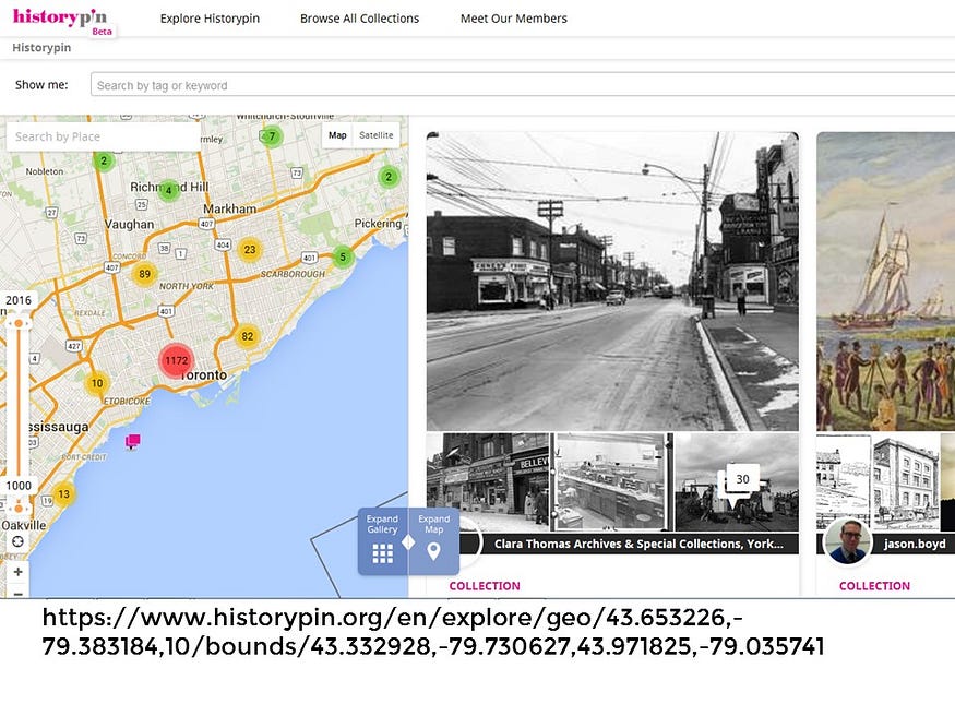
Rather than have to worry about building two different apps on two different development platforms (Apple and Android), we should not forget that there is still the option to stick with the original cross-platform of the World Wide Web. That’s what HistoryPin does now. History Pin is a project that I’m particularly fond of and it allows local history organizations as well as anyone with an interest in history to embed digital photographs in place and in time. History Pin used to have both an Apple and Android app but found it couldn’t keep up with the constant maintenance and changing development platforms. So now, if you use any HTML5 browser to visit the site, you can find embedded photos near where you are by clicking on the reticle icon.
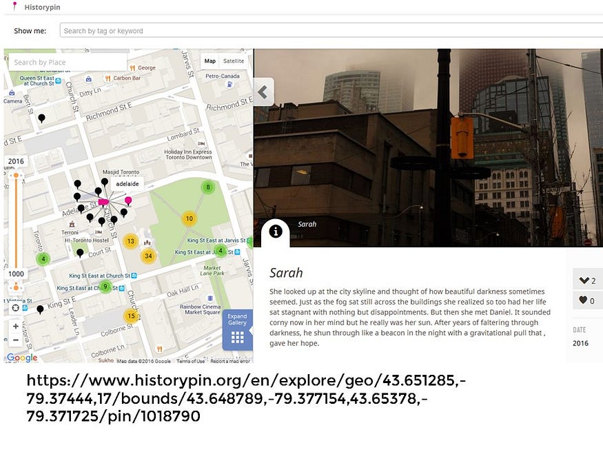
(By the way, there are no entries for the York Mechanics Institute, but this cluster of photographs have been added in such a way to tell a little story).

Ok. That wasn’t so hard. Now let’s try this thought exercise again but this time, we want to bring attention to a place that may or may not exist and there is no historical marker to advertise its former presence, say, one of Toronto’s buried rivers. How could we bring attention to the invisible history of Taddle Creek?
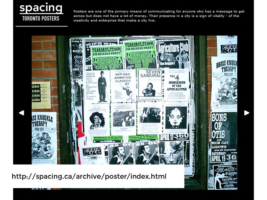
One way we could promote our collection is to simply to make a poster and to put it up somewhere nearby on telephone pole. Doing so is not likely to gather lots of attention, but if the poster designed well enough to be interesting to the eye it might attract the attention of a curious observer. Granted, our poster would probably be covered up shortly by another poster but at least the option would be affordable to us and — when you think of it — it’s still really the only such option to promote events in a public space. We should not take such space for granted. Let’s not forget that there was a time in which the ability to put up posters along the streets of Toronto was threatened to be curtained severely by the city in 2002. The very first issue of Spacing Magazine was dedicated to this very topic.

But suppose you wanted something more professional and more prominent because you wanted to capture more attention of the public. You could, if you had the budget, pay for an advertisement in spaces provided by the TTC. The rates that I’ve featured here are 6 years old now. If you are a large corporation, I suspect the rates seem pretty reasonable. If you are small non-profit the cost is likely out of your budget.
Now, there’s another advertising option that can be more affordable and its a channel that more and more companies and organizations are turning to and that is internet and mobile advertising. I’m not going to give you the rundown of how many billions world wide are put into such advertising but I do want to bring your attention to how advertising works, for reasons I hope will become clear shortly.
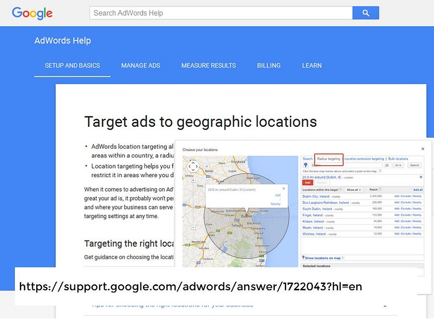
You can buy an ad to show up in people’s Google searches if those particular words match the ad target words that you’ve purchased as part of Google’s Adwords program. You can even limit your audience around a particular point and it looks like the smallest radius you can select is 20 miles. Now the important thing to remember is that Google’s AdWords program works by matching search words to what you want to advertise. So Google’s advertising program is not going to work for us in our scenario because we want people to made aware of something — the invisible river of Taddle Creek. Since they don’t know about it, they aren’t likely doing to search for it which means they won’t be served up our precious ad.

In that case, we could try exploring the other behemoth in mobile advertising, Facebook. Again, I’m not going to tell you how many billions they made the last quarter, I’m just going to try to show you how their advertising works and why their reach is growing and growing. I’m an administrator for the Leddy Library Facebook page, if you are an administrator for a such page and you have enough ‘Likes’ you can unlock the ability to gain insights to not only the people who like your page, but the people near your physical location, if you pages represents one. In our case, Facebook is able to tell me the gender, age range and busiest times of people who are around the Leddy Library.

So if I am interested in buying an ad to target those people near the library, I can do so. Or I could target my ad to those people who are friends with someone who likes our page. Furthermore, if the numbers are high enough, I can then refine to whom I want to target my ads based on the information that people have chosen to share on their Facebook profiles. This means, I can target ads by gender, by age, by relationship status, by stated interests, by religion, language, and by education.
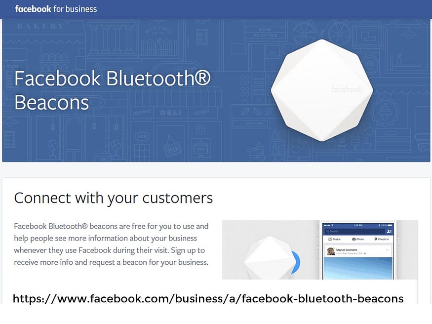
Not only does Facebook work on the people outside of the library, it also provides me a way to reach people inside of the library. I can send away for a free Facebook Bluetooth beacon so that people who open the Facebook app inside the library can be prompted with notifications about the space, be encouraged to ‘check in’ and be told of other friends who have checked into the space.
Beacons are small physical devices that uses the Bluetooth protocol to scan and notice users inside of buildings. These users can then be supplied with pop-up notifications as long as the user has opted in to receive them, most likely through the downloading of an app. If you are small independent business, it’s not likely you are going to develop your own an app to do this and so this is my understanding of why the Facebook Bluetooth Beacon exists.
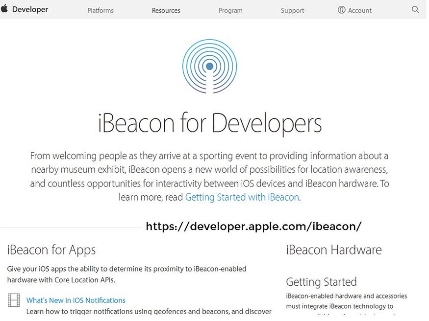
The original beacon technology — iBeacon — was, as the name suggests, developed by Apple. You can think of iBeacons as indoor GPS. When a person carrying a smartphone walks into a space, apps installed on that person’s smartphone listens for an iBeacon. When an app hears an iBeacon, it communicates the data about the beacon to the app’s server, which then triggers an action. From what I’ve read about iBeacons, many companies are worried about bothering people with too many notifications, so they most use the technology to understand how people are moving through their spaces. Evidently Walmart partnered with GE to install iBeacons in their store’s lighting systems.
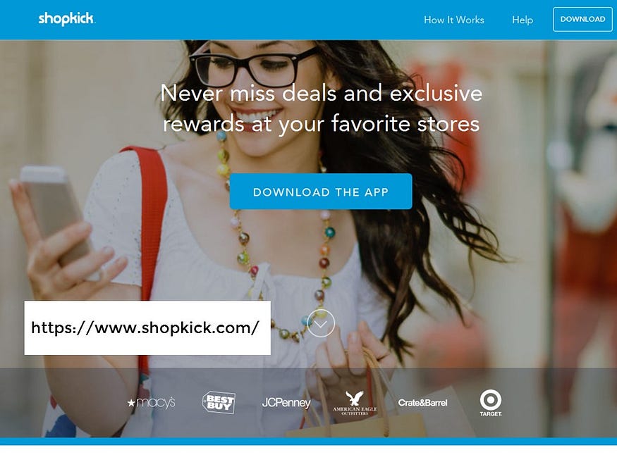
And unless you are have a particularly strong customer-relationship with your favourite corporation, you are unlikely to download an app for a large franchise store like Best Buy. But there is a large population that will download apps that promise coupons and discounts like Shopkick. And so just like customer loyalty cards that promise points for data sharing, these apps track user behavior inside businesses for a similar exchange.
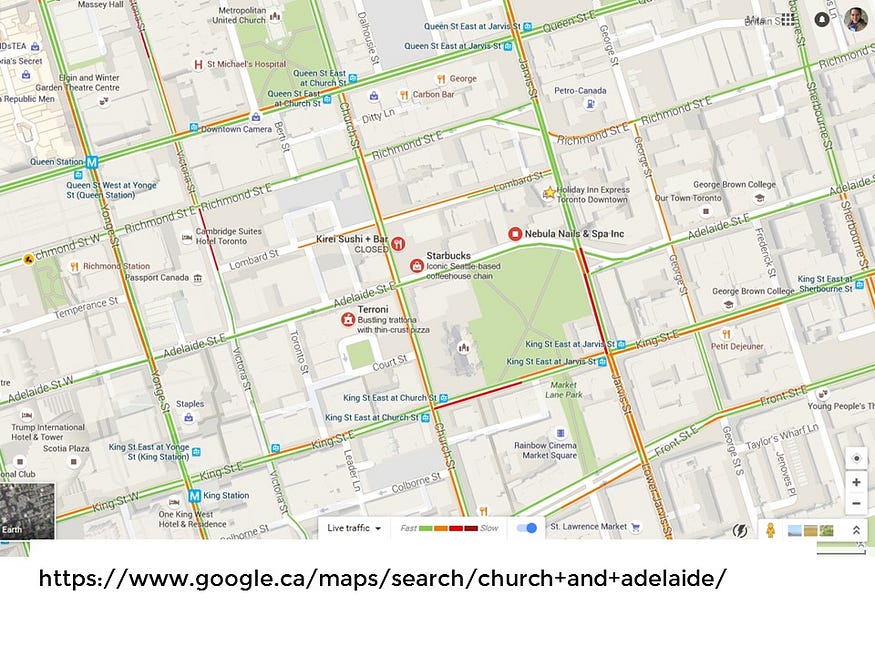
In the future — and since I am speaking as part of a series that is dedicated to the future, I think I have the license to speculate a little bit about the future — our maps and other information services are going to incorporate more and more of data gathered from beacons and mobile devices. As a result — and this was predicted by Bruno Latour —over time our digital maps are going to develop more and more characteristics of dashboards. In some ways, this should be surprising. We’re already used to maps that overlay live traffic patterns over top.
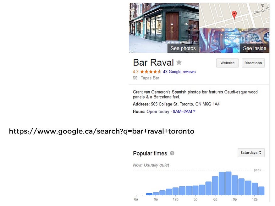
And you may have noticed this too: when I search Google for a business, Google shows me not only whether a business is likely to be open — it tells me how likely a spot is going to be busy based on historic data. One has to wonder if, in the future Facebook, Apple or Google will be able to give the same information based on real time results. One has to wonder what transformations this shift will enable. Real-time information is one of the reasons why our taxi fleets are turning into Uber.

Just many people still don’t understand that algorithms determine what we see in our social media feeds, many many people still don’t realize that there is no one true Google Map or base map that is “real and true.” For example, Google will display the national borders in each country depending on what each country’s government recognizes as its country’s borders. For example, let’s look at the the Google Maps for the region that contains the Siachen Glacier. Google Map users in India see the border that believe is true, Google Map users in China see their understanding of where the border lies. In this particular case, the US Google Map aligns with that of India, which I guess is the closest endorsement of what Google thinks is true?

I have a degree in Geography and Environmental Science. I have worked and can work in Geographical Information Systems. I understand that there is no one true map. Still, I can’t help but it find it disturbing to know that Google maps — the maps that most people use on a regular basis are completely personalized based on what Google thinks you are interested in and interspersed with what Google wants you to see — namely businesses who advertise with Google (or have a profile on Google+?)
This is still my favourite example of what I mean. If you are looking for playgrounds in Windsor, the playgrounds that will likely appear are those businesses that provide a space for children’s birthday parties as well as Maxine’s Adult Playground. The city’s public children’s playgrounds are largely not marked. The many of the smaller but important public places of a city — such as where can you find a public washroom, or bike parking , or a defibrillator — these are still not to be found on the map.
It’s as if the City was just an advertising platform.

If the city is currently an advertising platform, how can we turn the city into a library? In other words, how can we turn the city into a place of discovery, of history, of kindness, of generosity, and of being a place that rewards curiosity and respects privacy? What is the virtual version of the telephone pole that can papered with posters of local bands, political rallies, and indie art sales? I’m afraid to say that don’t have a good answer to that question. All I have are small gestures that I would share with you in this third and last part of my talk.
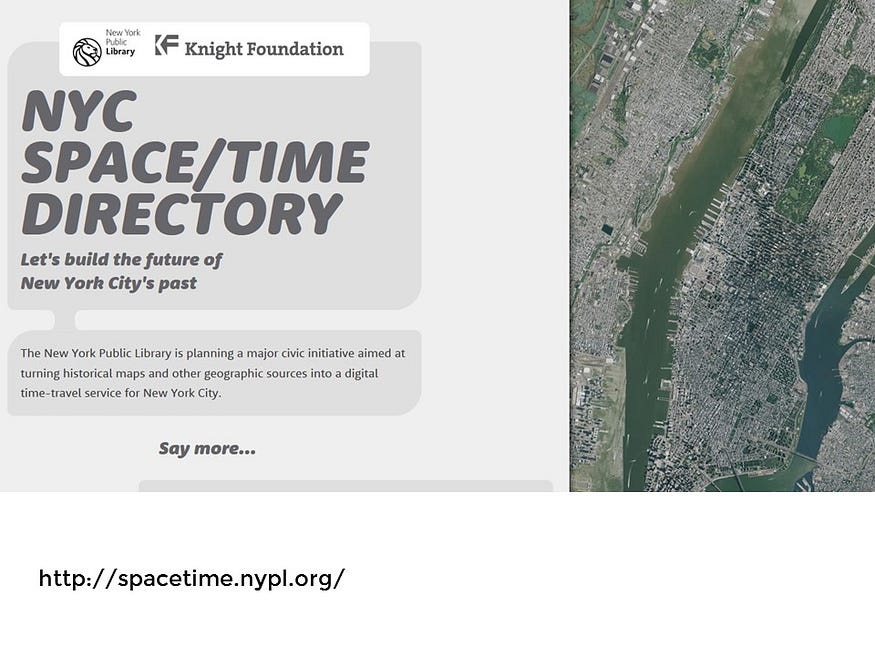
I don’t know whether libraries can build a competing mapping system where are communities’ collective and layered histories can shared and explored. To do so would be a massive civic undertaking and would require much human labour. But if any project of this nature stands a chance, I would think it would have to be the New York Public Library’s Space/Time Directory. They have the vision, they have the talent, they have the technology and they a passionate community that they are able to draw volunteer labour from It’s an extraordinary sounding project and I can’t wait to see how it looks like when it launches.

But that being said, I don’t think it’s enough for libraries to support our just own mapping systems. I’ve said this before: I think cities and libraries should provide their communities with open data so that all residents can make their own maps whether for themselves, for their cause, for their research, for their art or for their app that they hope to sell. The city of Toronto provides a considerable amount of its data as open, but for some reason they only provide their playgrounds as address data. That’s not enough for digital maps — in order for this information to be useful, it needs to be geocoded.
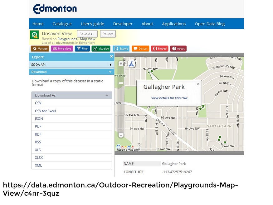
In comparison, the City of Edmonton uses a lovely interface that allows you to download the set of data you need right from the map itself.
Now, I can’t say that I have a comprehensive understanding on how libraries present their own collections using maps. But I do know of some examples of how some libraries are making use of maps for discovery that I’d briefly like to share.
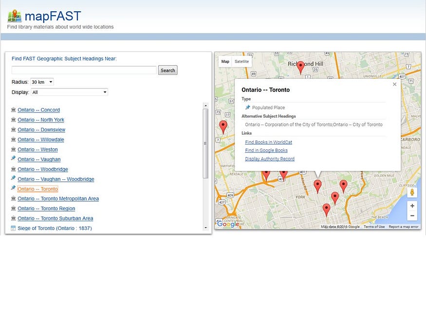
The only example of a library catalogue that I know of that provides a map interface for discovery for book subjects is the mapFAST prototype interface from OCLC. While the prototype wasn’t adopted for the WorldCat interface, the prototype does a great example that illustrates why building a map interface for an ILS is difficult assignment. The location metadata for books generally come from Library of Congress subject headings or from geographic subdivisions of those headings. Not only would all those records need to be geocoded — and again, there are contested territories, and territories that no long exist and territories that we aren’t sure where they existed — for all of our efforts we would generally, not be able to drill down to much geographic detail.
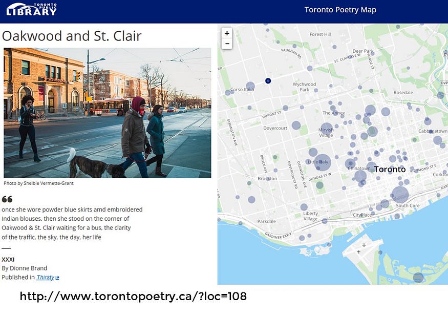
For this reason, we can see the necessity to build such projects outside of ILS on texts that have been marked up with more detail such as the beautiful Toronto Poetry Map from the Toronto Public Library.
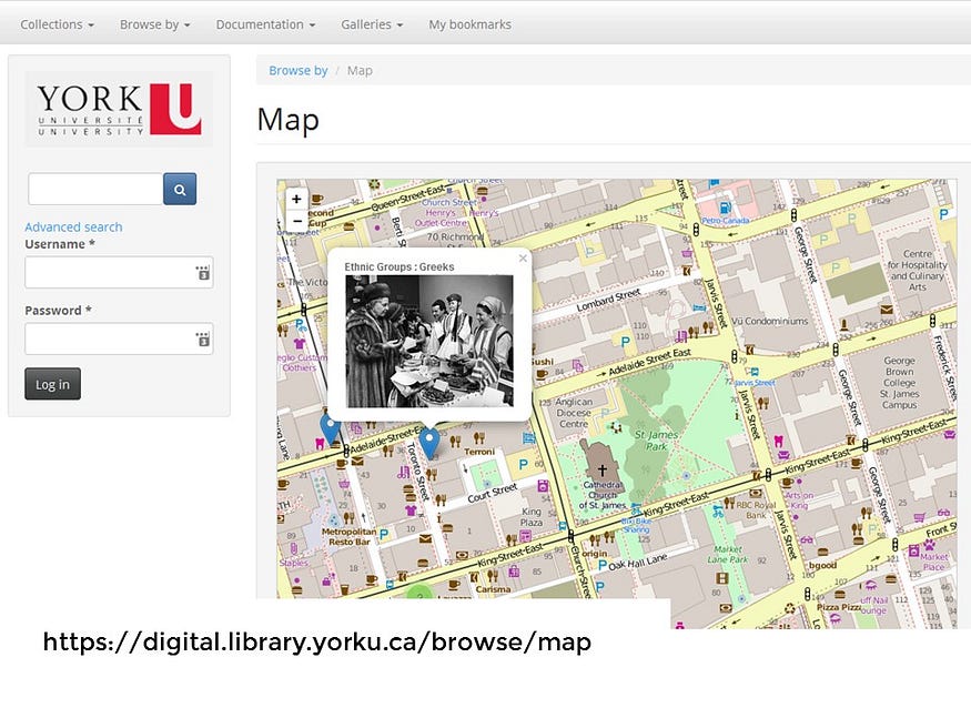
Speaking of geocoded information, you, the good people at York University Libraries should feel good that your Digital Collection already has a lovely map interface that leads naturally to exploration. Again, this is not nearly as common as I think it should be. The DPLA has a map interface and Omeka sites make such mapping easy, but Haithi Trust and Europeana do not.
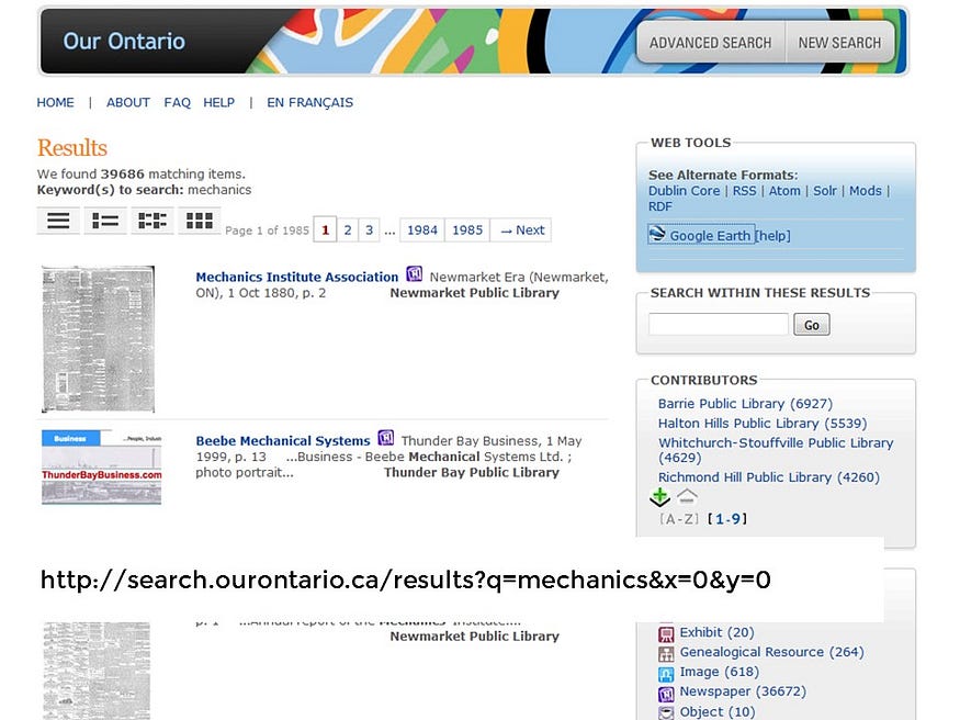
Another example of how rich an interface can be is the OurOntario interface that can allow you to express search results as Google Earth coordinates.
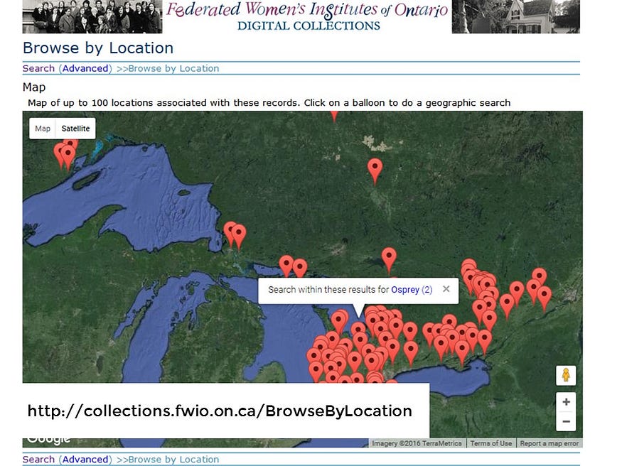
Their VITA Toolkit also can express a digital collection as a map.
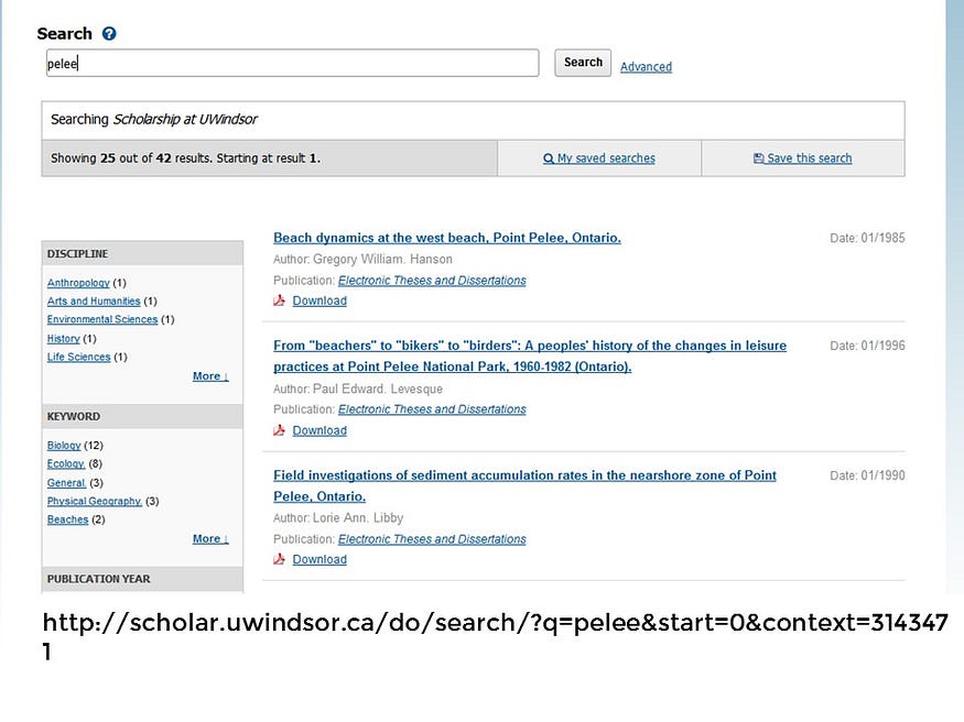
Again, just to re-iterate why I think this is important: I would like to see a future in which a person would be able to discover information about the place that they are in. For example, if our curious observer was in Point Pelee National Park, I would like to facilitate their ability to find research about the place that they are in. Now, there are a number of articles in the University of Windsor’s BePress driven Institutional Repository that addresses Point Pelee in some way, but the entries aren’t marked up enough up to be shared on a map or discovered if you were in that place.
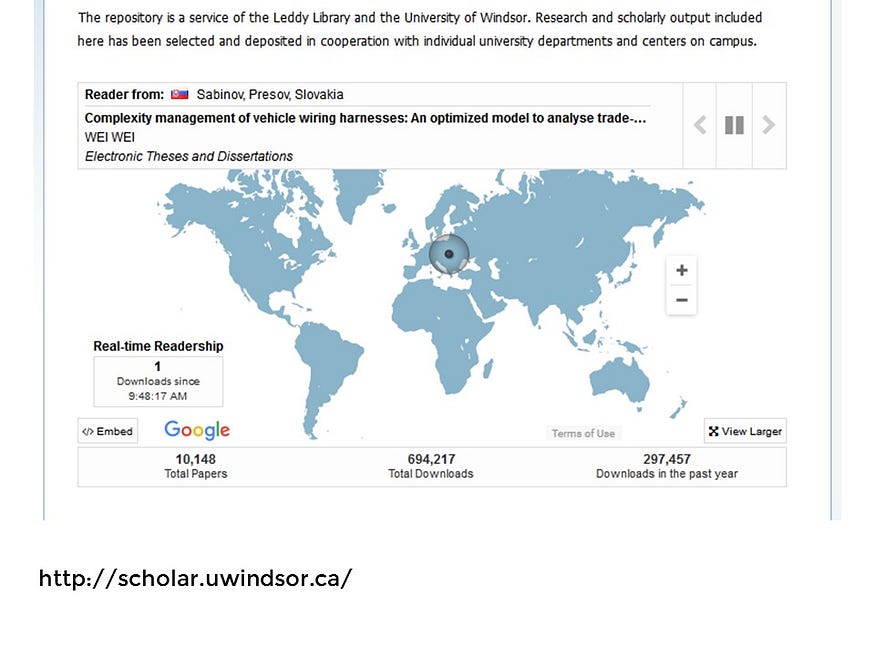
That being said, there is a map interface that can be found on the platform and that’s for the readers who have visited the site that day. The reason why this map is featured is two fold. I think the mostly like reason it exists is because it’s easy to generate because the geocoded information comes automatically from the browser information of visitors. Digital photos taken from a smartphone with location tracking enabled automatically capture this information in the image file itself. As such, we have many more maps of images taken by smartphones in comparison to digital photos taken by cameras without GPS add-ons.
Geocoding text requires human labour.
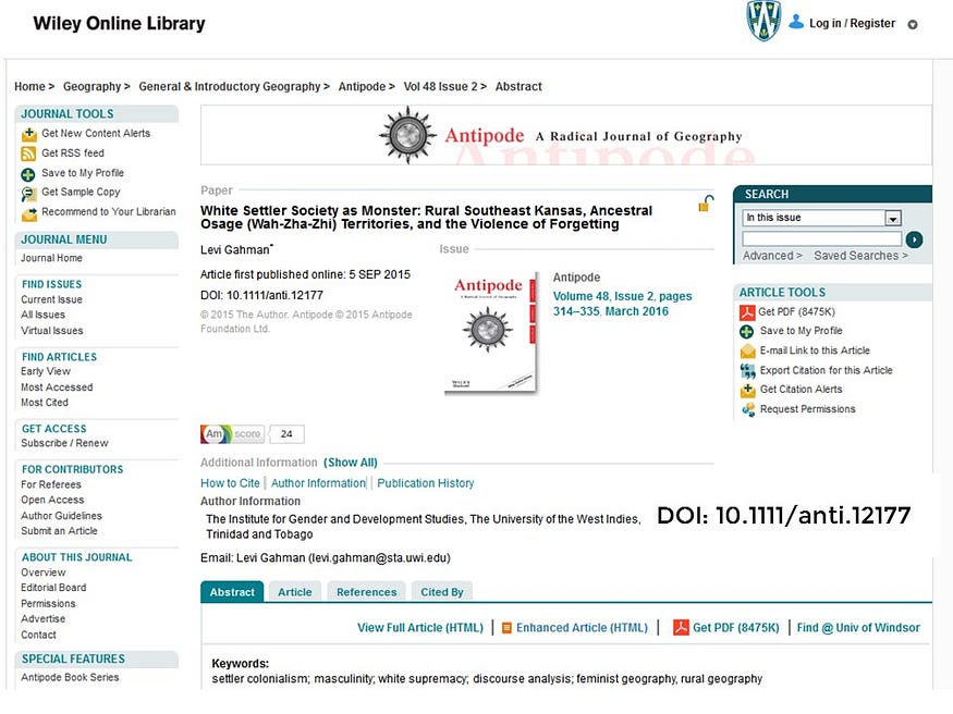
The other reason why there is a map of readers and not a map of subject covered is also a product of how many of our publishing platforms are orientated. I think it’s telling that many geography journals are hosted on commercial platforms that provide no or very little metadata that describe where an article’s subject is situated. But, without fail, such publishing systems always make note of the place of the author. Of course, this is not particularly surprising. We know that commercial publishers are not particularly concerned with the people who live in the places that are being studied. But I think they should have access to such research and as such, I believe libraries should be concerned.
So what can we do to embed library collections in the places where they are described without having to resort to advertising? My time is running short, so I’m going to briefly suggest some technologies that suggest what a more fundamental answer could resemble.

Instead, of iBeacons, I would suggest that libraries investigate Google’s competing beacon system called Eddystone. Google’s system for Beacons don’t works not on the app system but on the web using their Chrome browser. It does not track users but instead merely broadcasts a URL that appears as a pop notification on a device that has the Chrome browser installed. If you are curious to see how it works, you can borrow the BKON device from the OLITA Technology Lending Library and see how simple it is to set up and use.
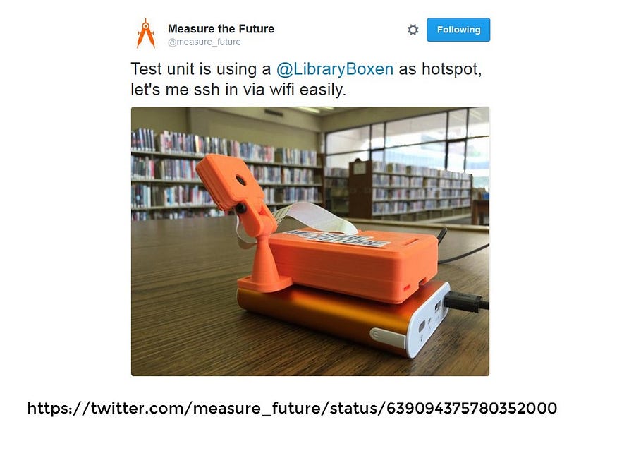
While we are on the topic of Beacon, I would like to bring your attention to Jason Griffey’s latest venture which hasn’t been released yet — his Measure the Future project. This project promises to measure indoor building use in a way that respects the privacy of the user and I’m really looking forward to trying it out.
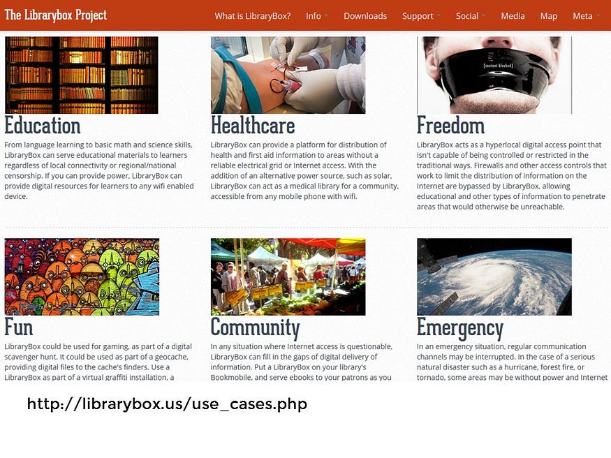
Alternatively we can use one of Jason Griffey’s other projects — and embed a LibraryBox in the space where we want to share information. If you aren’t familiar with what a librarybox is, think of it as a server that you can connect to if you are nearby without having to go through the internet. A Librarybox allows for sharing of files in a space without being tracked by the forces that work at the level of the Internet.
In fact, there is a librarybox in this room right now. If you go to your laptop or smart phone, and look at your wifi connections, you can see that you can connect to it and download the slides of this talk under the video tab.
And that’s, by the way, is what I think is the main problem with LibraryBoxes — you have to know that they are around before you can use them since they, themselves, don’t lend themselves to self discovery. They are hidden in plain site.
In other words, they require a rabbit hole.
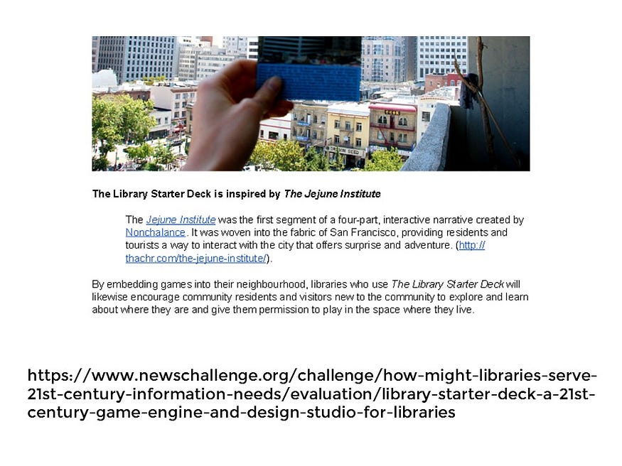
I would like to build a future in which libraries have learned the best lessons from ARGs and especially from the JeJune Institute and so that we can find new ways to lead the curious observers in our communities into new worlds of public places, of history, of the natural unadvertiseable world around them, of discovery, and of chaotic fiction.
Those are some of the reasons why I collaborated with game designer Ken Eklund on a proposal called the Library Starter Deck that we submitted to the recent Knight Foundation News Challenge for libraries. I’m sad to say that we were not selected as semi-finalists but just this past Friday, we were interviewed for consideration for their Knight Foundation Prototype grant. We will find out shortly if we are successful in this new pursuit.
And that brings us to the end. I would like to thank you for letting me join you today. I hope that today I have — at the barest minimum have given you reason to pay more attention to the posters you might come across in your travels, so you can follow the white rabbit and see for yourself how deep the rabbit hole goes.
Thank you.
